An old military road to Cima di Morissolo
Cima di Morissolo is a mountain peak at an elevation of 1,311m (4,301ft) above sea level, located in the Italian region of Piedmont. The summit hosts an old fortification built during the First World War.
Where is Cima di Morissolo?
The peak is located in the Province of Verbano-Cusio-Ossola, in the northern part of the country, near the Swiss border.
What’s at the summit of Cima di Morissolo?
At the summit, there’s a military fortress called Fortificazione del Morissolo. The surroundings of Monte Morissolo are characterized by the presence of the fortifications of the Cadorna Line, a dense network of military mule tracks, trenches, artillery positions, and lookout points, built in 1916 as a defensive function against a possible German attack through Switzerland.
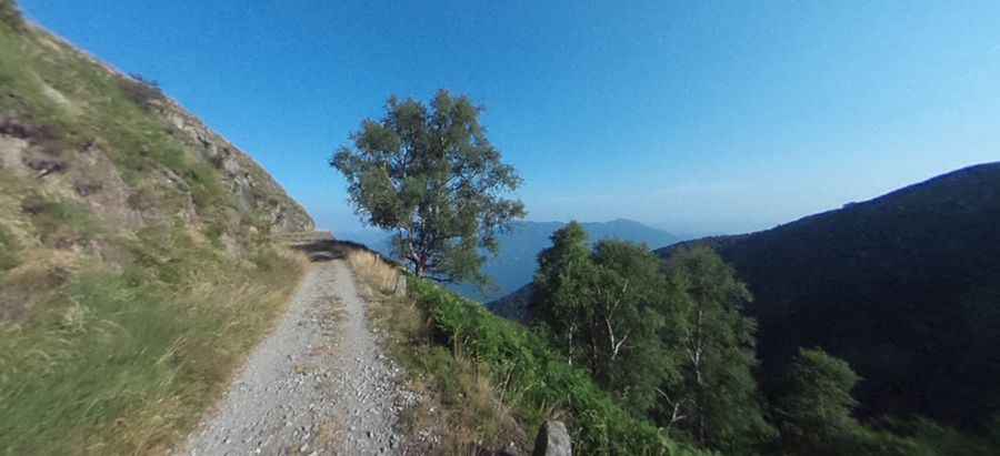
Is the road to Cima di Morissolo unpaved?
The path to the pass is unpaved. It’s an old military road, called Sentiero Strada Cadorna, also known as Strada Militare del Monte Morissolo.
Is the road to Cima di Morissolo open to cars?
The road is closed to private vehicles and features many unlit tunnels.
How long is the military road to Cima di Morissolo?
Starting from Piancavallo (Province of Verbano-Cusio-Ossola), the road to the summit is 1.7 km (1.05 miles) long.