Exploring Passo Tre Croci: A Scenic Road Through the Dolomites
Passo Tre Croci is a high mountain pass at an elevation of 1.811m (5,941ft) above sea level, located in the Province of Belluno, in the Veneto region of Italy.
Why is it called Passo Tre Croci?
The pass gets its name from a tragic incident in the 18th century when a mother and her two children perished while attempting to cross during a storm. To honor their memory, three crosses were erected at the pass, giving it its name, which translates to "Pass of the Three Crosses".
Is Passo Tre Croci paved?
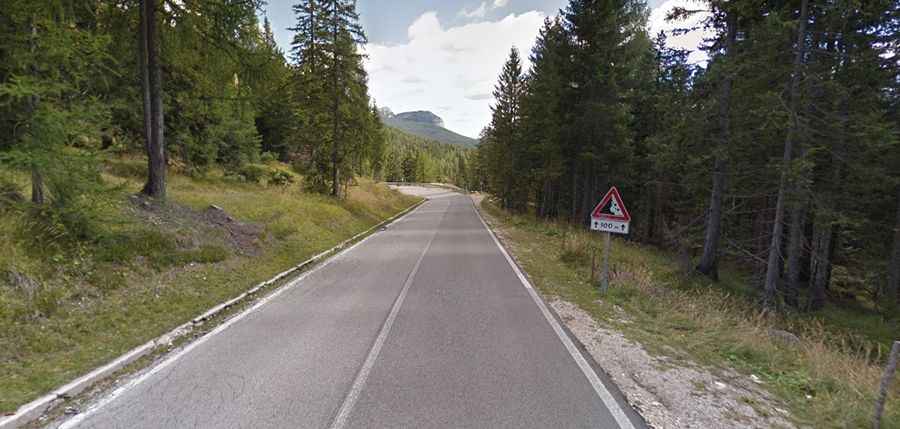
Located in the heart of the Dolomites mountain range, the road to the summit, called Strada Regionale 48 delle Dolomiti, is fully paved.
How long is Passo Tre Croci in the Dolomites?
Located in the northeastern part of Italy, the road is 11.9 km (7.39 miles) long, running from Cortina d’Ampezzo to Misurina.
How challenging is Passo Tre Croci?
The drive is relatively easy, with a few gentle bends rather than sharp turns. The road surface is generally smooth, although there are some bumps. It has a maximum gradient of 14.5% in some sections. Despite being part of the Dolomites, traffic here is typically light even during peak seasons.
Is Passo Tre Croci in the Dolomites worth visiting?
At the summit, visitors will find hotels, restaurants, and ample parking, all offering panoramic views of Monte Cristallo, a mountain peak standing at 3,221m above sea level. The pass has also been a route in the Giro d'Italia race and attracts cyclists and motorcyclists alike. History enthusiasts can explore World War I military bunkers that once formed part of the ‘Sbarramento Passo Tre Croci’ defensive line, marking the frontier with Austria in the eastern Alps.