A Paved Road to Cereda Pass in the Dolomites
Passo Cereda is a mountain pass at an elevation of 1,361 m (4,465 ft) above sea level, located in Italy.
Where is Passo Cereda?
Passo Cereda, one of the lesser-known climbs of the Dolomites, is located on the boundary between the Trento Province of Trentino Alto Adige and the Belluno Province of the Veneto Region, in the northern part of the country.
Is Passo Cereda paved?
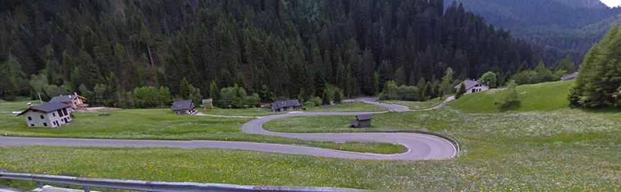
The road through the pass is fully paved. It’s called Strada Statale 347 (SS347). It usually has a normal surface, but sometimes there are dangerous narrow curves, especially in the villages, where you need to take care since the very narrow roads don’t allow a clear view around some corners.
How long is Passo Cereda?
Set high on the southern slopes of the Pale di San Martino mountain group, the road through the pass is 31 km (19 miles) long, running west-east from Fiera di Primiero (in Trentino) to Agordo (in the Province of Belluno).