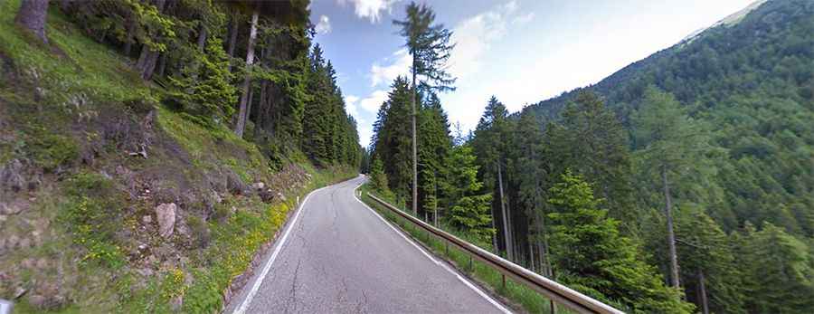
A scenic paved road to Lavaze Pass in the Dolomites
Passo di Lavazé is a high mountain pass at an elevation of 1.824m (5,984ft) above sea level, located in the autonomous region of Trentino-Alto Adige/Südtirol, in Italy.
Where is Lavazé Pass?
The pass is located in the northern part of the country, within the Val di Fiemme.
Can you drive to Lavazé Pass?
The road to the summit, also known as Lavazéjoch, is totally paved. It’s called Strada Statale 620 (SS620).
Is Lavazé Pass worth the drive?
From the pass there is a splendid view of the Catinaccio and Latemar. It is the ideal place for hiking in summer and skiing, especially cross-country skiing, in winter. At the pass is a small road climbing up to Passo di Oclini, at an elevation of 1.995m (6,545ft) above sea level.
How long is the road to Lavazé Pass?
Tucked away, the pass is 22.7 km (14.10 miles) long running south-north from Cavalese to Ponte Nova.
Is Lavazé Pass open?
Set high in the Dolomites, access to the pass is typically open all year round, with the occasional closure in winters due to dangerous weather conditions. Articulated lorries and trucks with trailers are prohibited from driving between the pass and Cavalese.
Is Lavazé Pass challenging?
The road condition of the entire pass is good and the traffic is moderate. The pass has been climbed by the Giro d’Italia bicycle race. The road to the summit is very steep, hitting a 14.8% of maximum gradient through some of the ramps.