Road trip guide: Conquering the paved San Marco Pass
Passo San Marco is a high mountain pass at an elevation of 1,985m (6,512ft) above sea level, located in the Italian region of Lombardy.
Where is Passo San Marco?
The pass is located on the boundary between Bergamo and Sondrio provinces, in the northern part of the country.
When was the road to Passo San Marco built?
The road to the summit is called Strada Statale 470. Until 2021, the road was Strada Provinciale 8 (SP8) and was built in the years after World War II. The pass is part of an ancient route built by the end of the 16th century to connect Lombardy with the Grisons area. Close to the pass, at 1,830m above sea level, there is Ca San Marco, a house also built in the late 16th century to provide care to travelers during winter. The summit itself has a couple of monuments.
Is the road to Passo San Marco paved?
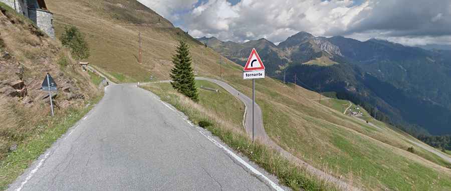
Set high in the Bergamo Alps, the road to the summit is fully paved and closed to heavy trucks. The pass has been climbed by the Giro d’Italia bicycle race. The road is never very steep, though (maximum 10%).
How long is Passo San Marco?
The pass is 24.2 km (15.03 miles) long, running south-north from Mezzoldo (in the Province of Bergamo) to Albaredo per San Marco (in the Province of Sondrio).