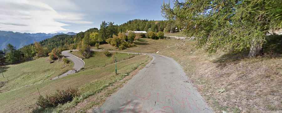
A steep paved road to Col Tze Core in the Aosta Valley
Col Tze Core is a high mountain pass at an elevation of 1,607m (5,272ft) above sea level, located in the Aosta Valley region of Italy.
Where is Col Tze Core?
The pass, also known as Col Zuccore or Tzecore, is located in the north-western part of the country. At the summit, there’s a picnic area.
Is Col Tze Core paved?
The road through the pass is fully paved yet pretty narrow. It has very steep parts, hitting 15.3% through some of the ramps.
How long is Col Tze Core?
It is 9.4 km (5.84 miles) long, running from Strada Regionale 7, near Sommarese to Orbeillaz.