How to get by car to Barbara Lowrie Refuge in Piedmont?
Rifugio Barbara Lowrie is a high mountain refuge at an elevation of 1,753m (5,751ft) above sea level, located in the Metropolitan City of Turin, in Italy.
Where is Rifugio Barbara Lowrie?
The refuge is located in the Piedmont region, in the northwestern part of the country, near the French border, within the Val Pellice. It rises in the centre of a large plateau among larch woods and pastures, and is towered over by Monte Manzol and Monte Granero.
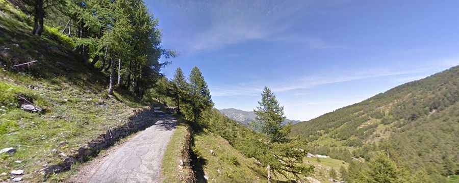
Is the road to Rifugio Barbara Lowrie paved?
The road to the refuge is totally paved, in pretty bad condition, and very narrow. It’s a very steep drive, hitting a 14.7% maximum gradient through some of the ramps. Every September, it becomes the setting for the challenging Cronoscalata, a cycle race up what is considered one of the steepest climbs in Italy.
Is the road to Rifugio Barbara Lowrie open in winter?
Set high in the Cottian Alps, a mountain range in the southwestern part of the Alps, the road is usually impassable in winter.
How long is the road to Rifugio Barbara Lowrie?
The road to the hut is an old military road. Starting from Perlà, the road is 9.5 km (5.90 miles) long. Over this distance, the elevation gain is 1,042 m, and the average gradient is 10.96%.