Driving the Paved Road to Cibiana Pass in Veneto
Passo Cibiana is a high mountain pass at an elevation of 1,535 m (5,036 ft) above sea level, located in the province of Belluno in Italy.
Where is Cibiana Pass?
The pass, also known as Forcella Cibiana, is located in the Veneto region in the northern part of the country. From the summit, a gravel access road leads to Monte Rite, reachable via an old World War I road. Fortifications from that era can still be seen on the mountain.
Is Cibiana Pass Paved?
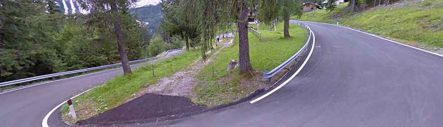
The road to the summit, called Strada Provinciale 347 (SP347), is fully paved. It is a winding, narrow road and, due to the challenging terrain, is closed to vehicles longer than 11 m and heavier than 17 tons. The road has a high risk of rock slides.
How Long is Cibiana Pass?
The road through the pass is 20.7 km (12.86 miles) long, running south-north from Forno di Zoldo (on SP251) to Venas di Cadore (on SS51). Cibiana Pass has even been featured in the Giro d’Italia cycling race.
Is Cibiana Pass Open in Winter?
Set high in the southern Dolomites, the road is typically open year-round.
How Steep is Cibiana Pass?
The road is quite steep, with inclines reaching 13.3% in some sections. Starting from Forno di Zoldo, the ascent is 10.34 km long with an elevation gain of 724 meters, averaging a 7% grade. Starting from Venas di Cadore, the ascent spans 9.8 km with an elevation gain of 762 meters and an average grade of 7.8%.