Duran Pass is an Iconic Giro d'Italia Climb
Passo Duran is a high mountain pass at an elevation of 1,601m (5,253ft) above sea level, located in the Province of Belluno, in Italy.
Where is Passo Duran?
The pass is situated in the Veneto region, in the northeastern part of the country. At the summit, there are two mountain refuges, a small chapel, a heliport, and a large parking lot. Passo Duran is a starting or transition point for many great hikes in the Dolomites and has been featured in the Giro d’Italia multiple times.
Is Passo Duran Paved?
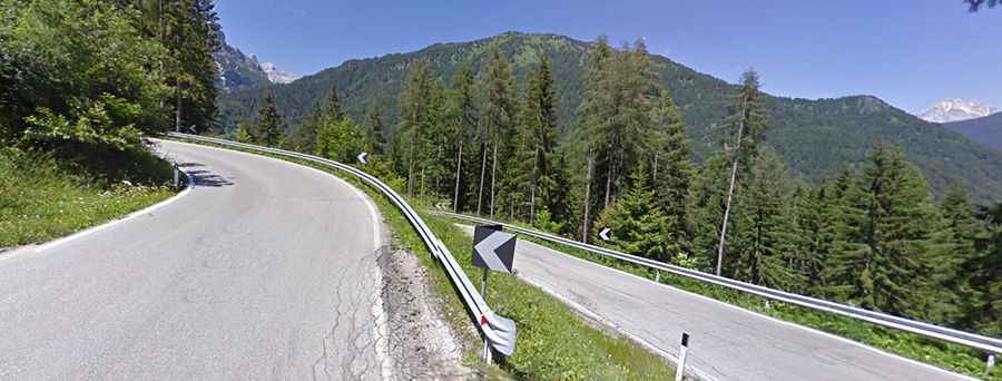
The road to the summit is fully paved and is called Strada Provinciale 347 (SP347). It is a very winding road with narrow parts and steep sections, reaching a maximum gradient of 15% on some ramps.
How Long is Passo Duran?
Set high in the Dolomites, the road to the summit is 20.4 km (12.67 miles) long, running from Agordo in the Cordevole Valley to Dont in the Zoldo Valley. At the summit, a minor gravel road closed to private vehicles, climbs up to Rifugio Bruto Carestiato at Col dei Pass.
How Steep is Passo Duran?
Starting from Agordo, the ascent is 12.5 km long with an elevation gain of 992 meters and an average gradient of 7.9%. Starting from Dont, the ascent is 8.16 km long with an elevation gain of 671 meters and an average gradient of 8.2%.