Mortirolo Pass: A Five-Star Road Through the Italian Alps
Passo di Mortirolo is a mountain pass at an elevation of 1,878m (6,161ft) above sea level straddling Brescia and Sondrio provinces of Italy. This legendary ascent is one of the most grueling challenges in professional cycling, having been featured repeatedly in the Giro d'Italia stage race.
Where is Mortirolo Pass?
The pass is located in the Lombardy region, in the northern part of the country, near the border with Switzerland.
Can you drive through Mortirolo Pass?
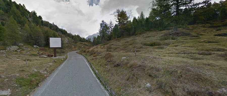
Set high in the Alps, the road to the summit is totally paved. It’s called Strada del Mortirolo and Strada Provinciale 81 (SP81). On older maps the pass is known as Passo di Foppa.
How long is Mortirolo Pass?
Tucked away in the northern part of the country, the pass is 23.7 km (14.72 miles) long running from Mazzo di Valtellina (Province of Sondrio) to Monno (Province of Brescia).
How hard is Mortirolo Pass?
The Mortirolo climb is famed for its extreme gradients, hitting a 26% of maximum gradient. Its narrow path allows no turnarounds, and 3-axle vehicles are banned. Known as one of pro cycling's toughest ascents, Mortirolo averages gradients over 10%. This climb is often dubbed Italy's hardest. Many pros consider it the toughest in the major tours. Lucho Herrera hailed Mortirolo as the "Queen Climb of Europe" in 1991, and Lance Armstrong called it the most challenging he'd faced in 2004. The Giro d’Italia has featured this climb multiple times. Marco Pantani was the first to summit it in 1994 at just 24 years old, commemorated with a memorial honoring "il Pirata."
How Long does it take to drive Mortirolo Pass?
To drive the road without stopping will take most people between 50 and 65 minutes. The drive offers sweeping views. A monument to Marco Pantani was erected in 2006 in Piaz de l’Acqua, 8km from the summit. Pantani is portrayed attacking, his hands in a low grip on the handlebars, looking back at his defeated opponents.
For the Brave: An Additional Challenge Atop the Summit
At the summit there's a very narrow road to Aprica. It's 28,5km (17.70 miles) long climbing up through Passo di Guspessa, Passo di Picco and Monte Padrio, also called Valico di Trivigno. It's extremely dangerous. It’s very irregular, paved and very steep with some stretches around 20%. Speed limited to 20 km/h. Trucks and semi trucks are forbidden. It’s closed in winters and was an old military track. It has very nice views.