How to drive the paved road to Panarotta Refuge in the Dolomites?
Rifugio Panarotta is a high mountain refuge at an elevation of 1,780m (5,839ft) above sea level, located in the autonomous province of Trentino, in Italy. The ascent is very popular with amateur cyclists.
Where is Panarotta Refuge?
The refuge is located in the region Trentino-Alto Adige/Südtirol, in the northern part of the country, in the Sugana Valley. It sits next to the former Panarotta chairlift, with ample parking.
How long is the road to Panarotta Refuge?
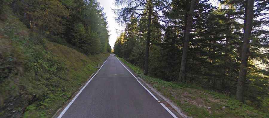
The road to the refuge is fully paved and comprises many steep parts, curves, and hairpin turns. Starting from Levico Terme at an elevation of 490m above sea level, the ascent is 16.2 km (10.06 miles) long. Over this distance, the elevation gain is 1,290 meters. The average percentage is 8%.
How steep is the road to Panarotta Refuge?
Set high in the Dolomites mountain range, the steepest sections are halfway up and hit 14% in places. These ramps come in the first half of the climb. In the final 2.5km, the gradient remains over 8% throughout.