Driving the military road to Frejus Pass in the Cottian Alps
Col du Fréjus is an international high mountain pass at an elevation of 2.546m (8,353ft) above sea level, located on the Franco-Italian border.
Where is Col du Fréjus?
The pass, also known as Passo del Frejus, links the Piedmont region of Italy and the Savoie department of the Auvergne-Rhône-Alpes region, in France.
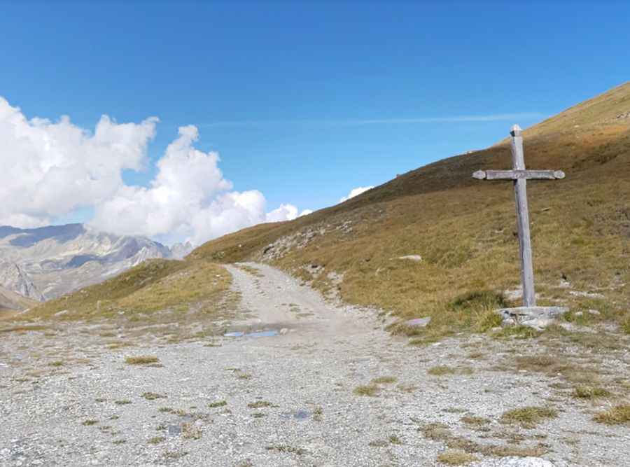
What’s on the summit of Col du Fréjus?
The summit, known as Colle del Fréjus and Col du Fréjus, hosts a small lake, Petit lac du Frejus and a cross.
When was the road to Col du Fréjus built?
The first road traversing the pass was built in the 1890’s at the behest of the French Général-Baron Berge. At the summit there are abandoned border barracks which had to provide security against an enemy invasion. Throughout the ride there are old military ruins of barracks, forts, fortifications, etc., with the occasional information sign or historic plaque. There were minor skirmishes between Italian and French troops here in June 1940 (WW2). The area was controlled by the Italians soon after the French surrender to the Germans on June 22, 1940 — until the defeat of the Axis in 1945. The pass was heavily used in the past but in 1980 it was bypassed by the 13 km (8.1 mi) long Fréjus Road Tunnel and most traffic was rerouted.
Can you drive to Col du Fréjus?
On the French side, the road to the summit is totally unpaved. A 4x4 vehicle is required. The quality of the road is not bad. It’s occasionally slippery. However, the road is closed to private vehicles. On the Italian side, there’s only a very steep hiking trail.
How long is the road to Col du Fréjus?
Set high on the western edge of the Massif du Mont Cenis, in the Cottian Alps, the French road to the summit is brutally steep, hitting a 30% of maximum gradient through some of the ramps. Starting at Le Seuil, the ascent is 8.4 km (5.21 miles) long. Over this distance the elevation gain is 873 meters. The average gradient is 10.39%.
Pic: frédéric goujon