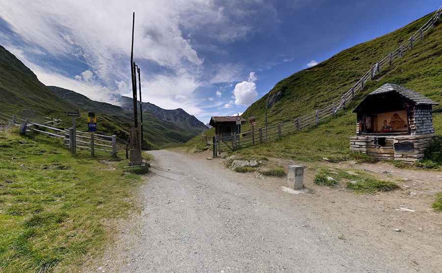
Driving the unpaved road to Klammljoch (Passo di Gola)
Klammljoch-Passo di Gola is an international high mountain pass at an elevation of 2,288m (7,507ft) above sea level, located on the border of Austria and Italy.
Where is Klammljoch-Passo di Gola?
The pass links the South Tyrol province in the Italian Trentino-Alto Adige/Südtirol region and the district of Lienz in the Austrian state of Tyrol. At the top, there is a closed toll booth.
Is the road to Klammljoch-Passo di Gola unpaved?
The road to the summit is totally unpaved and closed to motorized vehicles, but it can be traversed by bicycle. This climb is a very nice one in fine weather. The surface on this gravel road is often loose, especially along the sides of the road. It's a scenic, impressive trip but requires a good level of fitness. Technically not particularly sophisticated, all the paths and roads are well developed.
How long is the road to Klammljoch-Passo di Gola?
The road through the pass is 24.5km (15.22 miles) long, running west-east from Rein-Riva di Tures (Italy) to Erlsbach (Austria). It has very steep parts, hitting a 14.7% maximum gradient through some of the ramps. The gravel road is in a good state and possible to use with a road bike with 23 mm tires. It is somewhat hard going with a road bike. The views on the Austrian side are much better. The gravel road down the Austrian side to Erlsbach (1,549m) is of similar quality (slightly less good lower down).
Pic: Mac Maffio