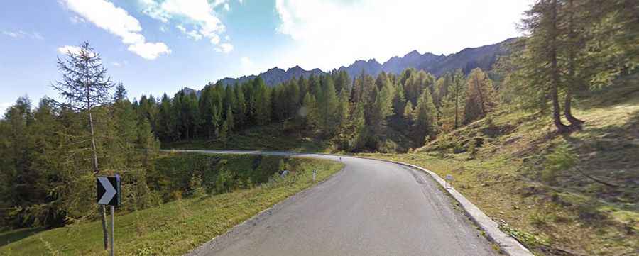
A narrow winding road to Sella Ciampigotto
Sella Ciampigotto is a high mountain pass at an elevation of 1.830m (6,003ft) above sea level, straddling Veneto and Friuli-Venezia Giulia regions of Italy.
Where is Sella Ciampigotto?
The pass, also known as Sella di Razzo and Casera Razzo, is located in the northeastern part of the country. At the summit there’s a bar-restaurant and lodge
How long is Sella Ciampigotto?
The road to the summit is fully paved. It’s called Strada Provinciale 619 (SP619) road. It’s 45.9 km (28.52 miles) long running west-east from Lozzo di Cadore (in the Province of Belluno in the Italian region of Veneto) to Comeglians (in the Regional decentralization entity of Udine in the Italian region of Friuli-Venezia Giulia).
Is Sella Ciampigotto challenging?
The drive features countless curves and hairpin turns, with steep parts and narrow sections. Exercise extreme caution when passing on-coming traffic, over-taking and around corners.
Is Sella Ciampigotto open in winter?
Set high in the southern part of the Dolomites, the road is usually open year-round. Always check the weather forecast before you start your journey: adverse conditions are common. The road offers stunning views of the surrounding Dolomite peaks and valleys.