How to drive the narrow and steep road to Rifugio Rinfreddo?
Rifugio Rinfreddo is a high-mountain shelter at an elevation of 1,892 meters (6,207ft) above sea level, located in the heart of the Comelico region, in Italy.
| Road facts: Rifugio Rinfreddo | |
|---|---|
| Location | Belluno, Veneto, Italy |
| Elevation | 1,892 m (6,207 ft) |
| Length | 6.4 km (3.9 miles) |
| Average Gradient | 8.75% |
Is the road to Rifugio Rinfreddo unpaved?
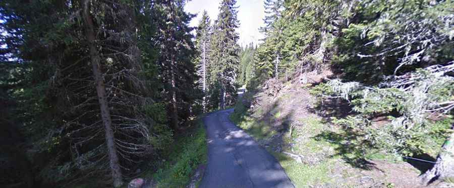
The road to the alpine hut is made of asphalt and rough concrete slabs. The ascent is mostly asphalted, but the steepest mountain ramps are reinforced with concrete. The road is narrow and very steep in parts, hitting a 15% of maximum gradient through some of the ramps. It is mostly a single-lane road without side shoulders; if you meet an oncoming vehicle, one car must reverse along the drop-offs until reaching a clearing or a dirt timber track.
How long is the road to Rifugio Rinfreddo?
Starting from Strada Statale 52 (SS52), right near the summit of Passo di Monte Croce Comelico, the road to the summit is 6.4 km long. Over this distance, the average gradient is 8.75%.
Is the road to Rifugio Rinfreddo open in winter?
Set high in the Belluno Dolomites, the mountain road is completely closed to vehicles from late autumn until May. During these months, the road is buried under snow drifts, turning the entire driving route into a dedicated trail for snowmobiles, snowshoers, and skiers. Heavy mountain rain regularly washes mud, pine debris, and loose gravel down onto the concrete slabs, making braking slippery during summer storms.