How to drive the steep 18% road to Malga Clef in Trentino
Malga Clef is a mountain dairy at an elevation of 1,720 meters (5,643 ft) above sea level in the Province of Trentino, Italy. The main challenge of this route is managing a 10.7-kilometer narrow road where several ramps hit a maximum gradient of 18%.
Where is Malga Clef located?
The dairy is located in northern Italy, within the Trentino-Alto Adige region, above the Chiese Valley and the town of Castel Condino. This is a remote alpine zone used primarily by farmers and hikers.
Is the road to Malga Clef unpaved?
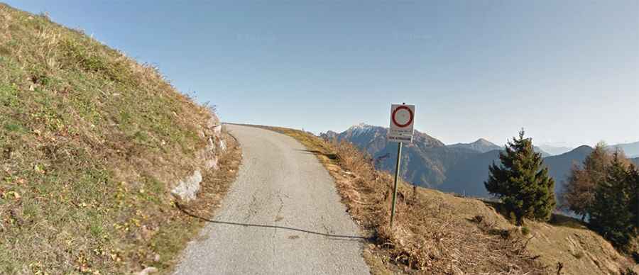
The road is partially paved, but the surface is in poor condition, with long sections of broken asphalt, concrete patches, and loose gravel near the summit. The track is very narrow, with no safety barriers and very few places to pass another vehicle coming in the opposite direction.
How long is the road to Malga Clef?
The road is 10.7 kilometers (6.6 miles) long starting from the SP70 provincial road. While the average gradient is high, the real difficulty lies in the Località Comandere sector, where the gradient hits an 18%. The drive comprises a few hairpin turns.