Driving the mountain road to Forcella Luson in the Dolomites
Forcella Luson is a high mountain pass at an elevation of 2.383m (7,818ft) above sea level, located in the Province of Bolzano, in the Trentino-South Tyrol region of Italy.
Where is Forcella Luson?
The pass, also known as Lüsner Scharte, is located near Brixen (Bressanone), in the northern part of the country, below Monte Telegrafo (Plose). Near the summit there’s a mountain hut known as Plosehütte (Rifugio Plose).
Is the road to Forcella Luson unpaved?
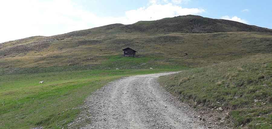
While the lower sections near the main roads are paved, the climb to Forcella Luson is mostly unpaved. The track, often referred to as part of the Via Panoramica Dolomiti or Dolomiten Panoramaweg, consists of loose dolomitic gravel and sections of exposed bedrock. The surface can be very bumpy, and a high-clearance 4x4 is recommended to avoid damaging the undercarriage on the rocky steps. The area is strictly regulated due to its location in a sensitive alpine ecosystem.
How long is the road to Forcella Luson?
Starting from Strada Provinciale 29 (SP-29), the road is 8.2 km (5.09 miles) long. The road works as a supply line for the mountain huts.
Is the road to Forcella Luson open in winter?
Set high in the Plose massif of the Dolomites, the road is totally impassable in winters. The road is completely buried under snow from November until late May or early June. During the winter, the Plose area is a primary ski destination, and the road to the pass is often used as a ski run or is simply impassable for wheeled traffic.
Why is there a road to the summit of Forcella Luson?
The road serves as the main access to Rifugio Plose and the telecommunications equipment located on the nearby peaks. It was built to allow the transport of food, fuel, and materials to the hut.
Pic: Federico Silvio Moretto