How to Get to the Iconic Blockhaus in the Apennine?
Blockhaus is a high mountain peak at an elevation of 2,072m (6,797ft) above sea level, located in the Abruzzo region of Italy.
Where is Blockhaus?
The peak is located on the boundary between Pescara and Chieti provinces, in the central part of the country, within the Parco Nazionale della Majella.
Why is it called Blockhaus?
The term "block-haus" (which in German means "stone house") originated in the 19th century during the fight against banditry. An Austrian military commander stationed with Bersaglieri at the summit, where a stone fort was built around 1863 after the unification of Italy to deter bandits, coined the name. The fort was used until 1867, and while only the stone foundation remains today, the summit has been known as Blockhaus ever since.
What’s at the summit of Blockhaus?
The summit hosts a small square, as well as a small chapel known as Madonnina del Blockhaus-Cappella Madonna della Neve and Fortino del Blockhaus, a military fortress. There is also an important historical marker related to the "Banda della Maiella" bandits: the inscription carved into the "Tavola dei Briganti" ("Table of the Bandits") dating back to around 1867.
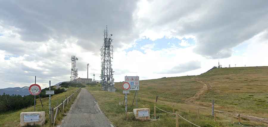
Is the road to Blockhaus paved?
The road to the summit is totally paved, yet closed to private vehicles for the last 2.3km beyond the Majelletta mountain pass. It’s really narrow and features many steep parts.
How long is the road to Blockhaus?
Starting from Cima Mammarosa on the paved Strada Provinciale 64 (SP64), the road to the summit is 6km (3.72 miles) long. Over this distance, the elevation gain is 424 m, and the average gradient is 7.06%.
Is the road to Blockhaus open in winter?
Set high in the Apennine Mountains, on the north-eastern slope of the Maiella massif, the road is usually open year-round, with occasional closures in winter due to snowfall.