Col dei Pass: Driving the rugged track to Rifugio Bruto Carestiato
Nestled in the heart of the Dolomites, Col dei Pass is a high mountain pass at an elevation of 1,818m (5,964ft) above sea level. Located in the Province of Belluno, in Italy's Veneto region, this pass serves as a dramatic balcony under the towering walls of the Moiazza massif. The route is famous for its rugged terrain and for hosting one of the most beloved mountain outposts in the area.
| Road facts: Col dei Pass / Rifugio Carestiato | |
|---|---|
| Location | Belluno, Dolomites, Italy |
| Elevation | 1,818 m (5,964 ft) |
| Length | 3.4 km (2.11 miles) |
| Avg Gradient | 8.61% |
| Status | Regulated / 4x4 Only |
Where is Rifugio Bruto Carestiato?
The pass is situated in the northeastern part of Italy, in the Agordino area. At the very summit of Col dei Pass stands the Rifugio Bruto Carestiato, a mountain hut that is a key stop along the Alta Via 1 of the Dolomites. It sits at the southern base of the Moiazza, offering breathtaking panoramic views of the San Sebastiano and Civetta groups. This is a high-altitude wilderness zone where the road serves primarily as a supply line for the refuge.
Is the road to Col dei Pass unpaved?
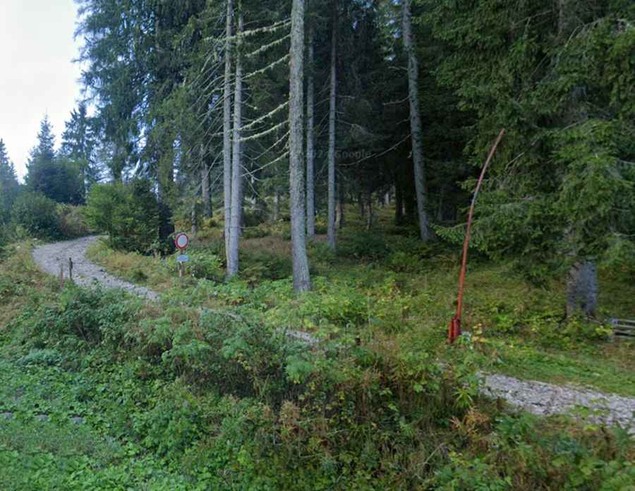
Yes, the road to the summit is completely unpaved and rugged. This track was completed in 1978 to facilitate access to the refuge, but it remains a primitive mountain path. The surface consists of loose limestone gravel and rocky steps that require high concentration. Because the terrain is fragile and the road is narrow, a 4x4 vehicle with high clearance is strictly required for any authorized transit. The road winds through alpine pastures and rocky outcrops, clinging to the side of the mountain with several sharp hairpins.
How long is the road to Col dei Pass?
Starting from the paved Passo Duran, the road to the summit is 3.4 km (2.11 miles) long. Don't be fooled by the short distance; the drive is a technical climb with an elevation gain of 293 meters. The average gradient is 8.61%, but some ramps are significantly steeper, testing the traction of your tires on the loose dolomitic debris. It is a slow, methodical crawl rather than a standard drive.
Can you drive a private car to Rifugio Carestiato?
It is crucial to note that the road to Col dei Pass is a regulated access route. For the general public, the road is closed to private motorized vehicles. Access is typically restricted to the refuge staff, mountain rescue services, and authorized forest management. Most visitors reach the summit by hiking or mountain biking from Passo Duran. If you have a permit or are part of an authorized expedition, you must ensure your 4x4 is in top mechanical condition, as there is no room for recovery if you break down on this steep, narrow track.
Is the road to Col dei Pass open in winter?
Located deep within the Dolomites, the road is completely impassable during the winter months. From late October until June, the track is buried under heavy snow. During this time, the Rifugio Carestiato is usually closed or only accessible via snowshoes or ski touring. Even in early summer, leftover snow patches in the shaded gullies of the Moiazza can make the road dangerous for vehicles.
What are the driving hazards at Col dei Pass?
The main hazards include rockfalls from the Moiazza cliffs and the extreme narrowness of the road. There are very few places to turn around or pass another vehicle, so reversing on a steep, loose gradient is a real possibility. Additionally, the weather can change in minutes; heavy thunderstorms can turn the gravel track into a slippery mud slide. Always check the local weather forecast for the Belluno province before attempting any high-altitude activity in this area.