Discover the road to Monte Sambucaro, Italy's WWII battlefield landmark
Monte Sambucaro is a mountain peak situated on the boundary between the Campania and Lazio regions of Italy. A narrow mountain road ascends to a height of 692m (2,270ft) above the sea level on the mountain's western slopes.
Where is Monte Sambucaro?
Nestled high in the Apennines mountain range, Monte Sambucaro, also referred to as Monte Sammucro, connects the Province of Caserta in the Campania region with the Province of Frosinone in the Lazio region. It lies to the north of San Pietro Infine in the southern part of Italy, roughly equidistant between Rome and Naples.
How long is the road to Monte Sambucaro?
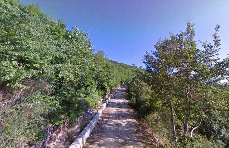
The road leading to the summit is a very narrow path paved with concrete (with loose gravel), and impassable for two cars simultaneously. Originating from San Vittore del Lazio, the climb spans 7.6 km (4.72 miles). Over this distance, there's an elevation gain of 499m, and the road averages a 6.56% gradient, with certain stretches reaching a maximum gradient of 10.7%.
Why is Monte Sambucaro famous for?
The road culminates in a small plateau adorned with a cross and the 'Monumento First Special Service Force' monument, a tribute to the allied soldiers. This mountain was a pivotal location in a significant battle between the American V Army and the German 29th Panzer Grenadier Division. Monte Sambucaro was a part of the Bernhardt Line, also known as the Reinhard Line, a defensive line established by the German Army in Italy during the Italian Campaign of World War II. The esteemed film director John Huston, who held the rank of Captain during the war, was responsible for producing films for the Army Signal Corps. He created a documentary about this particular battle—a poignant piece that was subsequently censored by the Army. The reason for this was its highlighting of strategic missteps and intelligence oversights that resulted in nearly 1,200 casualties among the Allied forces.