How to drive the unpaved road to Rifugio Valcanova (Kesselberghütte)
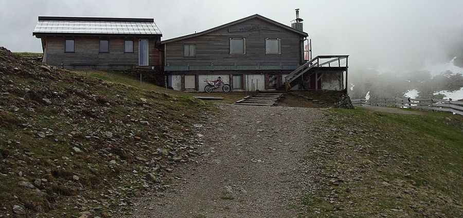
Rifugio Valcanova is a mountain cabin at an elevation of 2.299m (7,542ft) above sea level, located in the Autonomous Province of Bolzano/Bozen – South Tyrol, in Italy.
Where is Rifugio Valcanova (Kesselberghütte)?
The hut, also known as Kesselberghütte, is located north of Bolzano, in the region of Trentino-Alto Adige/Südtirol, in the northern part of the country.
Is the road to Rifugio Valcanova (Kesselberghütte) unpaved?
The track to the hut is totally unpaved and very steep. It is a chairlift access trail. A 4x4 vehicle is required. It’s closed to private vehicles.
How long is the road to Rifugio Valcanova (Kesselberghütte)?
Starting from Falzeben the ascent is 7.1 km (4.41 miles) long. Over this distance the elevation gain is 682 meters. The average gradient is 9.60%.
Is the road to Rifugio Valcanova (Kesselberghütte) open year-round?
Set high in the Sarntal Alps, the road is totally impassable in winters and accessibility is largely limited to the summer season (June to September).
How to drive to Rifugio Kuhleiten (Kuhleitenhütte)?
To the west, an unpaved gravel road climbs up to Rifugio Kuhleiten (Kuhleitenhütte) a mountain cabin at an elevation of 2.360m (7,742ft) above sea level.