Monte Zoufplan: Driving the narrow 1,343m climb in Friuli-Venezia Giulia
Located in the Province of Udine, within the Friuli-Venezia Giulia region of Italy, Monte Zoufplan is a mountain peak at an elevation of 1,968m (6,456ft) above sea level. Situated in the Central Carnic Alps, the road to the summit is used to access weather and seismic monitoring infrastructure.
| Road facts: Monte Zoufplan | |
|---|---|
| Location | Udine, Friuli-Venezia Giulia, Italy |
| Elevation Gain | 1,343 m |
| Length | 15.9 km (9.8 miles) |
| Average Gradient | 8.44% |
| Surface | Asphalt / Gravel |
How is the road to Monte Zoufplan?
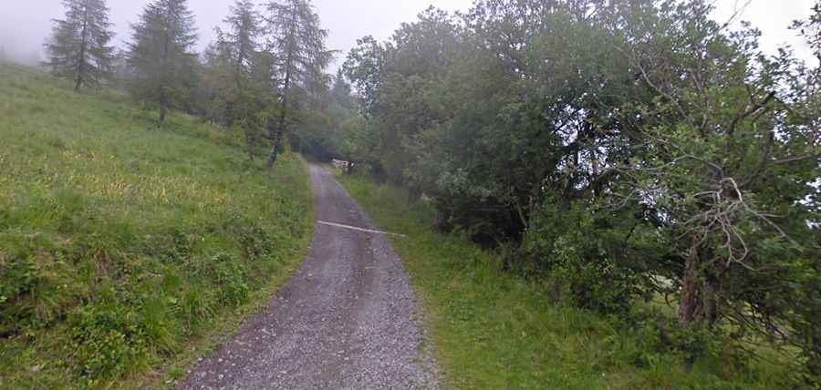
The ascent to Monte Zoufplan starts from the village of Cercivento. The road is 15.9 km (9.8 miles) long and consists of two distinct sections. The first 10 kilometers are paved but very narrow, with width only sufficient for a single vehicle. The final 5.9 kilometers to the 1,968m summit are unpaved gravel. This upper section follows the mountain ridge and lacks safety barriers or guardrails. A high-clearance vehicle is required for the gravel track, as the surface is composed of loose stones that shift after rain or storms.
How steep is the climb to Monte Zoufplan?
The route overcomes an elevation gain of 1,343 meters from the valley floor. The average gradient is 8.44%, but the climb is inconsistent, with several sustained ramps exceeding 12%. The narrowness of the asphalt section requires drivers to anticipate oncoming traffic, as passing points are infrequent. Meeting another vehicle often necessitates long reverse maneuvers on steep inclines. The track is fully exposed to crosswinds.
What infrastructure is at the summit of Monte Zoufplan?
The summit of Monte Zoufplan houses a weather radar and seismic sensors. The road serves as the primary maintenance access for these facilities. Due to the equipment's requirements, the road reaches the highest point of the ridge. There are no services, refueling points, or commercial facilities at the top. Drivers must ensure the vehicle's cooling system is in optimal condition before starting the 1,343m vertical climb, as the sustained low-gear ascent puts significant thermal stress on the engine.
Is the road to Monte Zoufplan open in winter?
The road is impassable from late October to June. The high elevation and northern orientation result in heavy snow accumulation and ice on the narrow asphalted hairpins. During the summer months, fog is a frequent hazard, reducing visibility on the unfenced edges.