What are the most spectacular roads in Italy?
Located in the southern part of Europe, Italy is a dream for drivers as it hosts the mountain passes (the Alps), coastal drives (Adriatic, Ionian, Tyrrhenian, and Ligurian), and some of the most famous scenic routes in the world.
Choosing only a few roads to drive in the country is nearly impossible, as there are about 600 spectacular routes. Stelvio Pass is Europe's most famous road. At an elevation of 2,757m (9,045ft) above sea level, the pass is located in the northern part of the country. It's one of the highest roads in Europe. Featuring 48 hairpin turns, the road through the summit is a marvel of engineering.
If you prefer coastal drives, you must experience the breathtaking Amalfi Coast Road. The road follows the shoreline from Sorrento south to Salerno. The road has been featured in films since cameras started rolling at 24 frames per second. If you want to feel like James Bond, don’t skip Strada della Forra. A small car with a functioning horn is recommended. For skilled drivers only. The drive is known by motorcyclists from all over Europe, as it is impressive and not without danger in a few narrow and steep spots. If you prefer roads with a story, don’t miss the Strada delle 52 Gallerie, a WWI military mule road. Built on the massif of Pasubio, it was constructed in this position to stay away from Austro-Hungarian artillery fire.
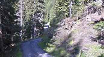
How to drive the narrow and steep road to Rifugio Rinfreddo?
Rifugio Rinfreddo is a high-mountain shelter at an elevation of 1,892 meters (6,207ft) above sea level, located in the heart of the Comelico region, in Italy.
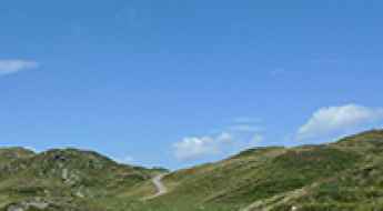
Can I drive the unpaved road to Fleckner Hut in the Stubai Alps?
Flecknerhütte (Fleckner Hut) is a high mountain refuge at an elevation of 2,056m (6,745ft) above sea level located in the South Tyrol province of Italy.
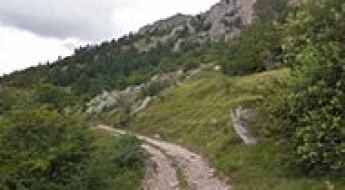
Monte Dubasso Ridge Road: Driving the Crest Track to Colle San Bartolomeo
The high-mountain ridge road linking Monte della Guardia, Monte Dubasso, and Colle San Bartolomeo di Ormea is a single-lane mountain track located in the Ligurian Alps, running along the border zone between Piedmont and Liguria, in Italy. This 11.4 km (7.1 miles) crest route connects two different sections of the SP216 road.
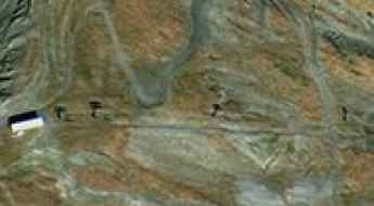
How to drive the unpaved road to Chaz-Dura?
Chaz-Dura is a high mountain peak at an elevation of 2.560m (8,398ft) above sea level, located in the autonomous region of Aosta Valley, in Italy. It's one of the highest roads in the country.