Driving the Scenic F337 Road Through Lunar-like Fields
Located in the Southern Region of Iceland, the infamous F337 (Hlöðuvallavegur) is one of the steepest roads of the country, with breathtaking views. It’s one of the famous F Roads of the country.
How long is Road F337?
Running through the Icelandic interior, near Þingvellir National Park, the road is 28.9 km (17,95 miles) long, running south-north from Road 37 (Laugarvatnsvegur) to Road F338.
Is Road F337 unpaved?
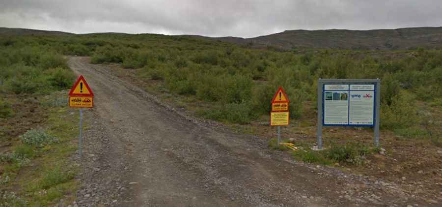
Situated on the lava field at the southern foot of Mt Hlodufell, and surrounded by a lunar landscape, the road is totally unpaved. It’s a very rough and challenging road only for a 4-wheel-drive vehicle with high clearance. The track is pretty bad with a lot of big stones and sandy patches. Driving in a small passenger car is simply irresponsible and can be very dangerous. There are no rivers to cross. Curve after curve it goes up steeply: 500 vertical meters in 4 km at an average grade of 15%.
Is Road F337 open?
It’s one of the highest roads of the country, topping out at 681m (2,234ft) above sea level. This road is usually impassable from late October through late June or early July (depending on snow). Prepare to be on your own; this track is quite remote and rarely traveled. If you experience a breakdown, there’s minimal passing traffic or nearby inhabitants, and some areas have no cell phone coverage.