Driving the wild Road F206
Located in the Southern Region of Iceland, road F206 (Lakagígar) is a demanding drive through a landscape with rivers. It’s one of the famous F Roads of the country.
How long is road F206 (Lakagígar)?
This 40 km (25 miles) road stretches from the Ring Road to the Laki car park. It's entirely unpaved and crosses the site of a deadly volcanic eruption in 1783, which caused significant damage and loss of life in Iceland and affected the climate in Europe.
How challenging is the road F206 (Lakagígar)?
The drive takes about 2 hours. It is rough and requires a 4-wheel drive vehicle with high clearance. The road has large potholes, ruts, and boulders. It’s open only during the summer months, from late June to early September. The road is remote, with little traffic and no cell phone service in parts. A breakdown can leave you stranded without help.
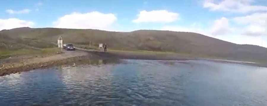
How to cross rivers on the road F206 (Lakagígar)?
You will cross a dozen deep rivers along the route. Only well-equipped jeeps and larger vehicles should attempt this. Check the river depth before crossing, and avoid crossing during heavy rain. Rental car insurance does not cover water damage, including damage from crossing rivers.
Is road F206 (Lakagígar) worth a visit?
The journey offers some of Iceland's most impressive landscapes. The road leads through the Laki Crater Area in Vatnajökull National Park, with lunar-like scenery and the Fagrifoss waterfall.
Pic&video: ocharni