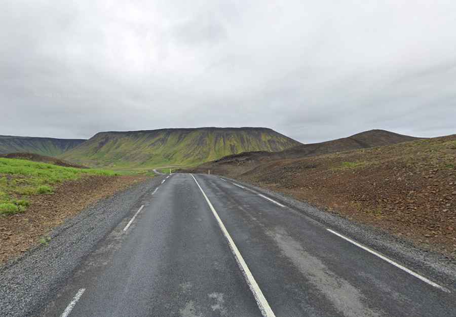
Driving the paved but narrow Road 42 to Vatnsskarð
Vatnsskarð is a mountain pass at an elevation of 200 meters (656 ft) above sea level, located on the Reykjanes peninsula in southwest Iceland. Traversed by Road 42 (Krýsuvíkurvegur), the route connects Hafnarfjörður with the southern coast, passing directly along the shore of Lake Kleifarvatn.
| Road facts: Vatnsskarð (Road 42) | |
|---|---|
| Location | Reykjanes Peninsula, Iceland |
| Elevation | 200 m (656 ft) |
| Length | 26.3 km (16.3 miles) |
| Road Number | Road 42 (Krýsuvíkurvegur) |
| Surface | Paved |
Where is Road 42 located?
Road 42 runs north-south across the volcanic landscape of the Reykjanes peninsula. The 26.3-kilometer road begins near Hafnarfjörður, climbs over the Vatnsskarð pass, skirts the western edge of Lake Kleifarvatn, and continues past the Seltún geothermal area toward the southern coast.
What are the driving conditions on Road 42?
While Road 42 has been fully paved, replacing the former gravel track, it remains narrow and lacks paved shoulders in several sectors. Along the Kleifarvatn shoreline, the road is squeezed between steep volcanic ridges and the lake edge, featuring sharp curves, blind crests, and short, steep gradients.
What are the main hazards on the Vatnsskarð pass?
Strong crosswinds regularly blow across the exposed lake basin, impacting high-sided vehicles. Rain and damp conditions leave the asphalt slick, while rockfalls from the volcanic cliffs occasionally drop loose stones onto the driving lane. Meeting oncoming trucks or buses along the narrow lake sections requires reducing speed and staying close to the inner rock wall.
Is Road 42 open in winter?
Road 42 remains open year-round, but winter weather brings snow, ice, and reduced visibility across the Vatnsskarð pass. Icelandic road service snowplows clear the route, but winter tires are required, and temporary closures occur during severe winter storms.