Take An Unforgettable Drive to Fjarðarheiði in Iceland
Fjarðarheiði is a mountain pass at an elevation of 623m (2,043ft) above sea level, located in the Eastern Region of Iceland.
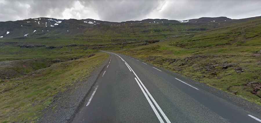
Is the road through Fjarðarheiði paved?
The winding road to the summit is totally paved. It’s called Route 93. The road has steep sections. Always check the weather forecast before you start your journey: adverse conditions are common. During a big part of the year, the mountain pass can be problematic, due to excessive snow. The drive is very scenic when not engulfed in fog.
How long is Fjarðarheiði?
The pass is 24.5km (15.22 miles) long, running west-east from Egilsstaðir (on the banks of the Lagarfljót river) to Seyðisfjörður (at the innermost point of the fjord of the same name). To drive the road without stopping will take most people between 30 and 45 minutes.