Road trip guide: Conquering Steingrimsfjörðurheiði pass
Steingrimsfjörðurheiði pass is a mountain pass at an elevation of 440m (1,443ft) above the sea level located in the Icelandic Westfjords.
Is the road to Steingrimsfjörðurheiði pass in Iceland paved?
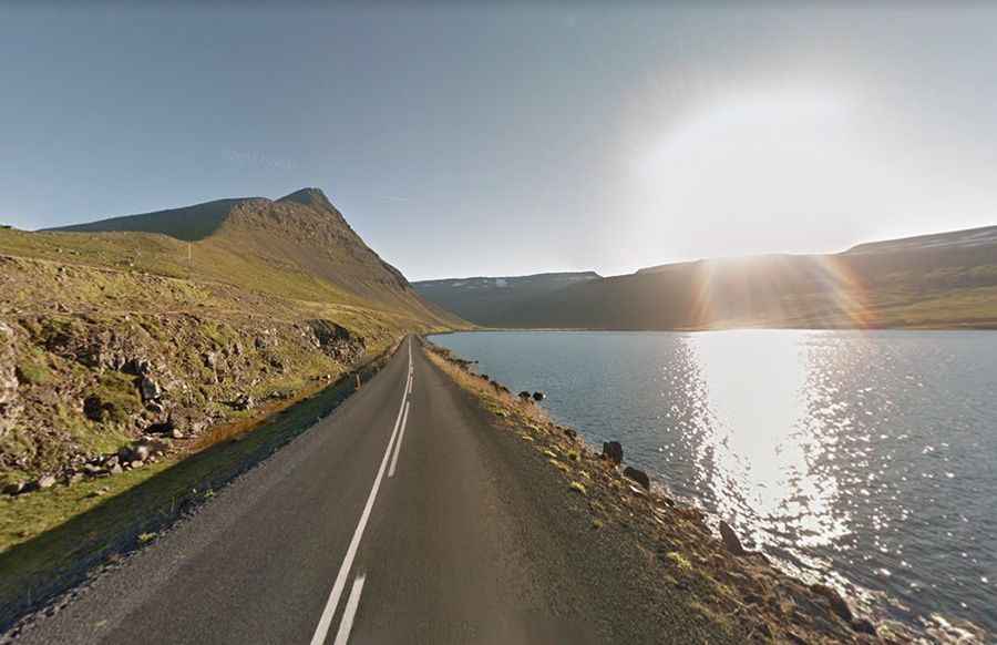
Set high in the northwestern part of the country, the road to the summit is totally paved. It’s called Route 61 (Djúpavegur). The road is 249 km (155 miles) long, running from Vestjarðavegur (Road 60) to Ísafjörður, the largest town in the Westfjords peninsula, with some 2600 inhabitants. It’s a gorgeous drive with relatively little traffic. There’s a parking lot at the summit. The road to the summit is very steep, hitting a 9% of maximum gradient through some of the ramps.
Is the road to Steingrimsfjörðurheiði pass in Iceland open?
Surrounded by a harsh environment, the pass is the highest point on the road. Always check the weather forecast before you start your journey: adverse conditions are common. Extreme care during foggy weather. In the winter the road is serviced for snow clearance 7 days a week between 11:00 and 19:00. The pass often gets shut down due high winds or when a winter storm blows in, so just be mindful of that possibility.