Driving the Road 643 in Iceland to the end of the world
Road 643 (Strandavegur) is a very remote drive running along the coastline of the Westfjords region of Iceland.
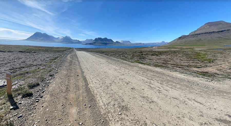
Is Road 643 (Strandavegur) unpaved?
Tucked away on the northwestern part of the country, the road is totally unpaved running along the Strandir coast, through one of the most remote and isolated regions of the country.
How long is Road 643 (Strandavegur)?
The road is 98.8 km (61,39 miles) long, running from Route 61 (Djúpavegur) all the way up to Norðurfjörður and a famous public swimming pool called Krossneslaug.
Is Road 643 (Strandavegur) difficult?
It is a very scenic coastal drive but not an easy one. The road has potholes, is prone to landslips, with narrow passages, steep parts, and driving on the edge of the cliffs. It’s only for confident drivers as may be a bit scary at some parts. It is definitely doable by any SUV in summer, however a 4x4 vehicle is recommended.
Is Road 643 (Strandavegur) open?
Located in the Strandir Region, this road is usually impassable from late October through May.
How long does it take to drive Strandavegur Road?
To drive the road without stopping will take most people between 2 and 3 hours. The road is very scenic and snakes along the coast between steep rocky summits and the pounding sea. It can offer breathtaking views, but thick fog can easily ruin the views and visibility. The drive is very remote and along the way you’ll feel total solitude for hours.
Pic: Karl Stefansson