The Road to Mount Koutra Has It All!
Mount Koutra is a high mountain peak at an elevation of 1,929m (6,328ft) above sea level, located in the Kavala regional unit, East Macedonia and Thrace of Greece. It’s one of the highest roads in the country.
Where is Mount Koutra?
The peak is located between the cities of Thessaloniki and Kavala, in the Pangaion Hills, in the northern part of the country, within the valley of Orfeas.
What’s at the summit of Mount Koutra?
At the top, there are abandoned facilities that were used for telecommunications, and the access is unrestricted. Near the summit sits an abandoned shelter, named Hadjigeorgiou. It was one of the most famous mining areas of ancient Greece, with gold and silver mines.
Is the road to Mount Koutra paved?
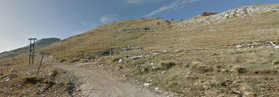
Set high in the Mount Pangaion mountain range, the road to the summit is mostly paved, featuring concrete and asphalt parts. The last 2.7km to the summit are on a gravel surface. A 4x4 vehicle is recommended.
How long is the road to Mount Koutra?
The road to the summit is brutally steep. Starting at Panagia, the ascent is 24.7 km (15.34 miles) long. Over this distance, the elevation gain is 1,749 meters. The average gradient is 7.08%.