How to have the ultimate road trip to Costas Migkotzidis hut
Costas Migkotzidis is an emergency shelter at an elevation of 2.365m (7,759ft) above the sea level, located in the Larissa regional unit, on the border of Thessaly and Macedonia, in Greece. It's one of the highest roads of the country.
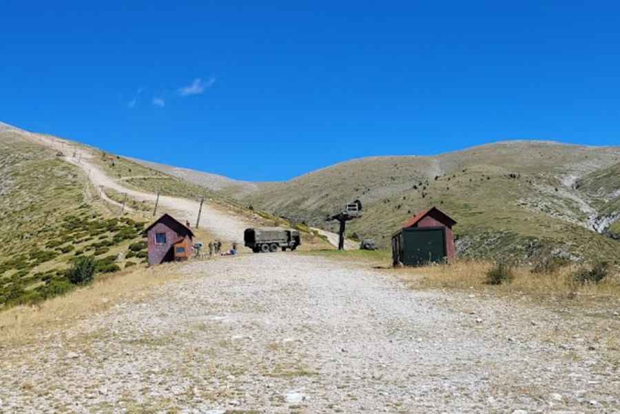
Set high in the Mount Olympus National Park, within the Olympus Range, the road to the hut is totally unpaved. It’s a chairlift access road and used for military training. 4x4 vehicles only. The hut is not manned and remains unlocked. Expect high winds. Winds are an almost everyday occurrence.
The road to the hut is very steep. Starting at Sparmos, the ascent is 19.1 km (11.86 miles) long. Over this distance the elevation gain is 1.785 meters. The average gradient is 9.34%. The road is totally impassable in winters.
Going higher...
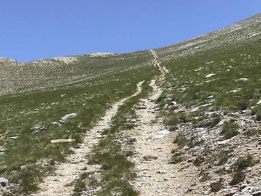
To the north of the shelter, a minor rocky track climbs up to 2.659m (8,723ft) between Agios Antonios (Saint Antony) and Trýpes peaks, near Olympus Scientific Center Department of Meteorology and Climatology, a meteorological center that now functions as an emergency shelter. The track is 1.81 km (1.12 mi) long and brutally steep. Over this distance the elevation gain is 294 meters. The average gradient is 16.24%, hitting a 24% of maximum gradient through some of the ramps.
Pic1: Damian D
Pic 2: Konstantinos Kefalas