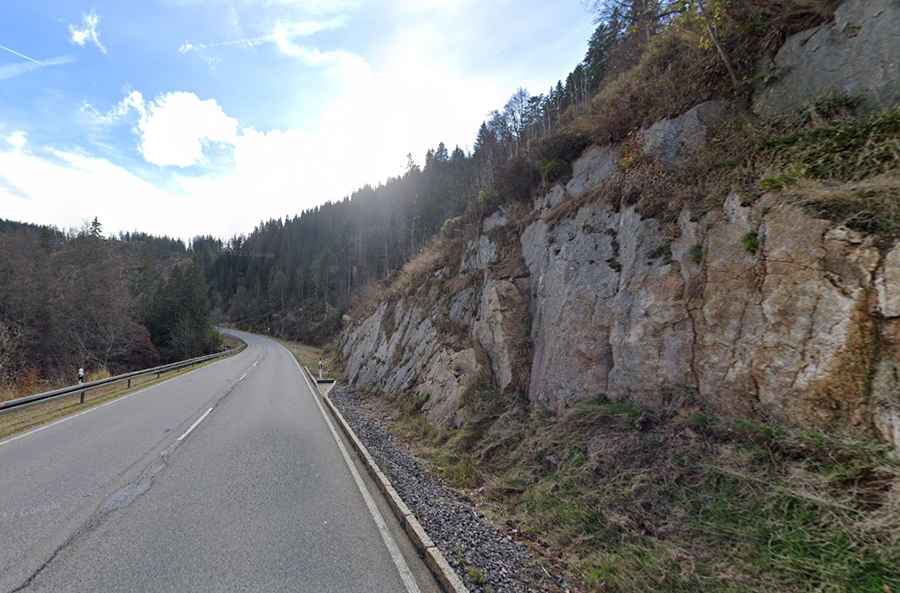
A paved road to the summit of Feldberg Pass
Feldbergpass is a mountain pass at an elevation of 1,235m (4,051ft) above sea level, located in the state of Baden-Württemberg, in Germany.
Where is Feldberg Pass?
Set high in the southwestern part of the country, within the Black Forest, the road through the summit is fully paved. It’s called Federal Highway B 317. The road has very good quality but has steep parts, reaching a 10.0% maximum gradient through some of the ramps. Constructed in the 1920s, the road was paved in 1932/34.
How long is Feldberg Pass?
The pass is 16.2 km (10.06 miles) long, running west-east from Todtnau to Bundesstraße 500. To the north of the pass, a paved road climbs up to Feldberg peak.