How to drive the unpaved road to Pic Mercader in Occitania?
Pic Mercader is a high mountain peak at an elevation of 2.468m (8,097ft) above sea level, located in the Occitania region of France.
Where is Pic Mercader?
The peak, also known as Tossal Mercader, is located on the border of Ariège and Pyrénées-Orientales departments, in the southern part of the country.
Is Pic Mercader unpaved?
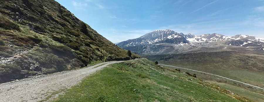
The road to the summit is totally unpaved and very difficult. It is called Chemin Arriège-Pyrenées. The drive comprises narrow parts, steep sections and 14 hairpin turns.
How long is the road to Pic Mercader?
Starting from Col de Puymorens, the road to the summit is 6.8 km long. Over this distance, the elevation gain is 548 m and the average gradient is 8.05%. Along the way you can enjoy a high mountain environment typical of the Pyrenees area.
Is the road to Pic Mercader open year-round?
Set high in the Pyrenees mountain range, the road is usually impassable in winters. The wind is quite strong at the summit.
Pic: Josep Beltrà