What are the driving hazards on the D7 road to Col du Campo?
Col du Campo is a mountain pass at an elevation of 452 meters (1,482 ft) above sea level, located in the Haute-Corse department on the island of Corsica, in France. The pass is traversed by the D7 road, connecting the villages of Borgo and Vignale through the hills of the Biguglia region.
| Road facts: Col du Campo | |
|---|---|
| Location | Haute-Corse, Corsica (France) |
| Elevation | 452 m (1,482 ft) |
| Length | 17 km (10.5 miles) |
| Road Number | D7 |
| Surface | Paved (Narrow and exposed) |
Where is the D7 road through Col du Campo located?
The road runs through the north-eastern region of Corsica. The 17-kilometer sector forms part of the D7 departmental route, climbing inland from Borgo toward the mountain village of Vignale.
What are the driving conditions on the Col du Campo pass?
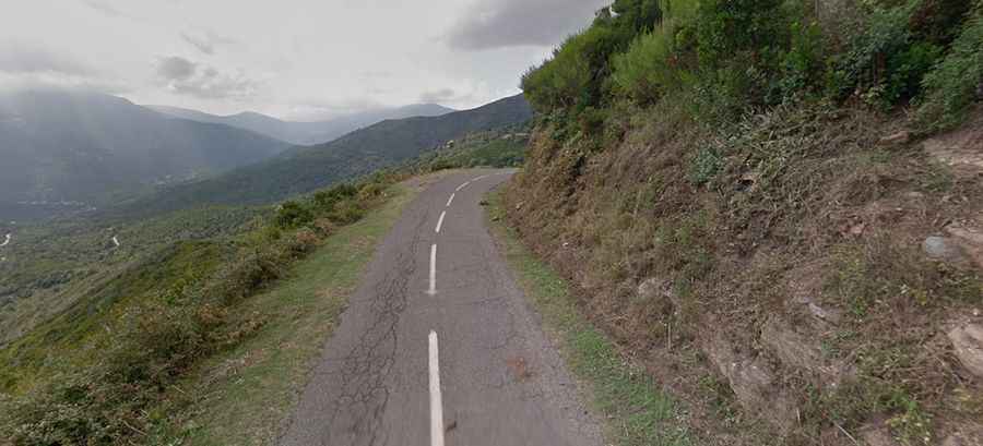
The 17-kilometer route is entirely paved, but the roadbed is narrow with constant width variations. It features continuous low-radius curves and blind turns bounded by rock walls on one side and unprotected drops on the other. Sections of the route were historically used as stages in the Tour de Corse rally.
What hazards exist on the D7 between Borgo and Vignale?
Several exposed sections along the cliff edges lack guardrails. Heavy rain washes loose gravel, mud, and stone debris from the adjacent hillsides onto the asphalt, reducing tire traction through blind bends. Meeting delivery vans or local traffic on narrow sectors requires slowing down or stopping at passing turnouts, while stray livestock often wanders onto the roadbed.