Mont Rond: The steep service road from Col de la Faucille
Mont Rond is a high mountain peak at an elevation of 1,540 meters (5,052 ft) above sea level, located in the Jura Mountains within the Ain department of France.
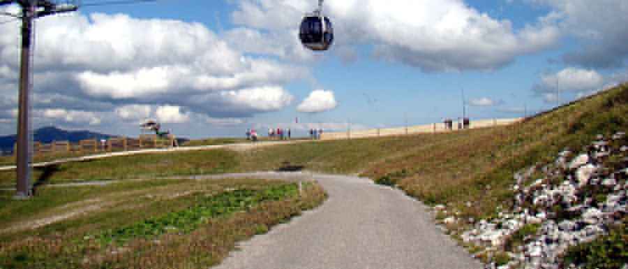
| Road facts: Mont Rond | |
|---|---|
| Location | Ain, Jura Mountains, France |
| Elevation | 1,540 m (5,052 ft) |
| Length | 2.4 km (1.5 miles) from Col de la Faucille |
| Elevation Gain | 219 m |
| Average Gradient | 9.12% |
| Surface | Paved asphalt (narrow / cracked) |
Is the road to Mont Rond paved?
The road to the summit is a narrow paved service track that begins at the historic Col de la Faucille, built for the maintenance of telecommunication towers and the Mijoux-La Faucille ski resort infrastructure.
How challenging is the 9% gradient of the Mont Rond road?
The 2.4-kilometer track from Col de la Faucille gains 219 vertical meters. The average gradient is 9.12% with sustained steep ramps from the start. The asphalt is significantly narrower than a standard road, lacking center lines, painted shoulders, or steel safety barriers on the most exposed mountain curves. The asphalt surface is severely cracked and broken due to severe Jura winters and heavy ski-station machinery transit, leaving loose stone grit and potholes across the lane.
Is the road to Mont Rond open?
Because the peak sits inside the Réserve naturelle nationale de la Haute Chaîne du Jura, private motorized vehicles are legally banned. A metal gate at Col de la Faucille bars access. During winter, the track becomes part of the active ski slopes, buried under deep snow and sheets of black ice, making vehicle transit impossible.
Pic: Courtin jerome