Col de Chaudun
Col de Chaudun is a high mountain pass at an elevation of 1.693m (5,554ft) above the sea level, located in the Hautes-Alpes department, in southeastern France.
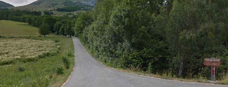
The road to the summit, also known as Col de Gleizé, is asphalted, a bit rough but improves a bit higher up. It’s pretty narrow. It's called Route Touristique du Col de Gleize. Starting from N85, the ascent is 4,8 km long via 11 hairpin turns. Over this distance the elevation gain is 436 meters. The average gradient is 9.08%. At the summit there’s a a small parking lot for the hikers and the paved road ends. At the top a gravel road continues to further passes: 800m to Col du Milieu (1738m) and 2.3 km to Col de Chabanottes/Challanotte (1664m). This road is only for authorised cars and mountain bikes are not allowed to access the road.