How to drive the mountain road to Cime des Cabanelles in Provence?
Cime des Cabanelles is a mountain peak at an elevation of 1.087m (3,566ft) above sea level, located in the Provence-Alpes-Côte d'Azur region of France. The summit offers stunning views of the eastern part of the Côte d'Azur.
Where is Cime des Cabanelles?
The peak is located in the Alpes-Maritimes department, in the southeastern part of the country. At the summit there’s a small tower, guarding the radar base of nearby Mont Agel. The views are very beautiful both towards Nice and the Italian border.
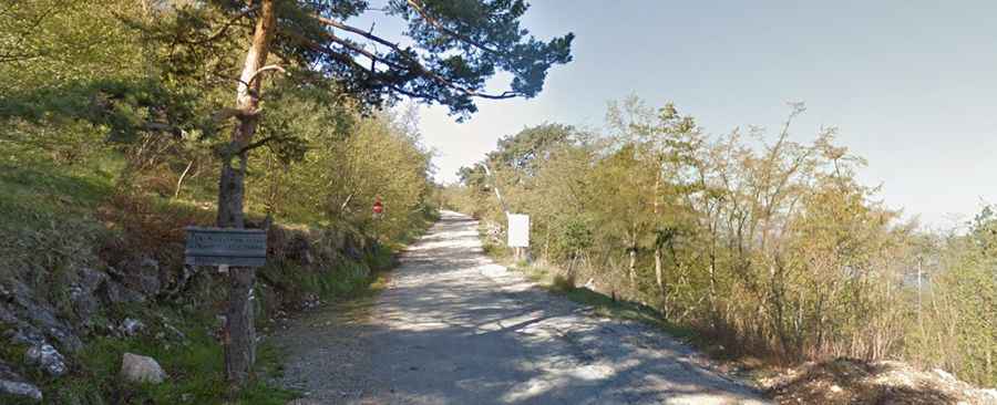
Is the road to Cime des Cabanelles unpaved?
The road to the summit features asphalt and gravel sections. It has 1km paved and 2km unpaved. A 4x4 vehicle is recommended.
How long is the road to Cime des Cabanelles?
Starting from the challenging D22 Road, a famous balcony road of the country, the road to the summit is 3.0km long.
How to drive the road to Col de la Madone?
Before reaching the summit, the road climbs up to Col de la Madone, at an elevation of 995m (3,264ft) above sea level. The summit several Radio Monte Carlo radio masts. It’s one of the first FM transmitters in France still in operation.