Col de Fours
Col de Fours is a high mountain peak at an elevation of 2.318m (7,604ft) above the sea level, located in the extreme north of the Alpes-de-Haute-Provence, in southeastern France, near the Italian border.
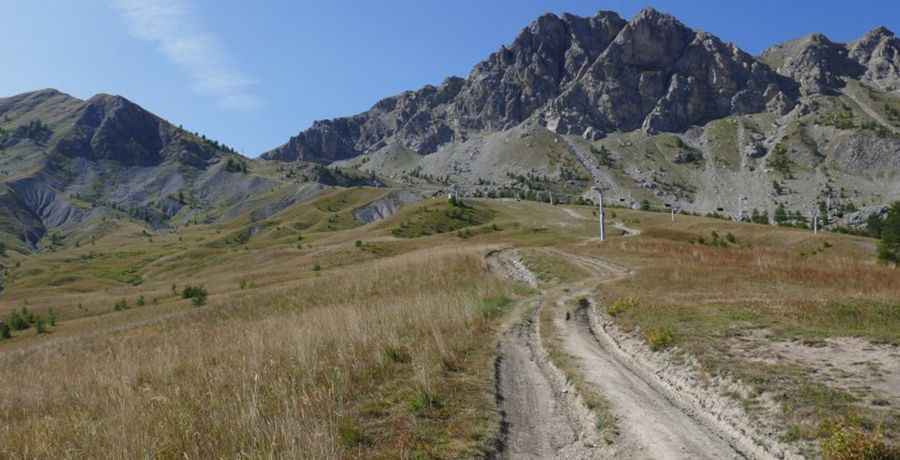
The road to the summit, located in the Ubaye valley, is rocky and gravel. It’s a chairlift access trail. At the summit the atmosphere becomes wilder. The slope is very steep, consists of loose stones and becomes even steeper and rocky in the upper part. Starting from Le Super-Sauze, the ascent is 3.6 km long. Over this distance the elevation gain is 607 meters. The average gradient is 16.86%. This trail can be done only a very narrow time-frame in the summer. The wind is usually quite strong at mountain areas. High winds blow here all year long. Along the way you may be lucky to see marmots, chamois and ibex. The chairlift was built in 1971.
Pic: https://mercantour.info/topo/chapeau-gendarme.html