How to drive the unpaved road to Lac de la Grande Moucherolle
Lac de la Grande Moucherolle is a high mountain lake at an elevation of 2.015m (6,610ft) above sea level, located in the Isère department of France.
Where is Lac de la Grande Moucherolle?
The lake is located in the Auvergne-Rhones-Alpes region, in the southeastern part of the country.
Is the road to Lac de la Grande Moucherolle unpaved?
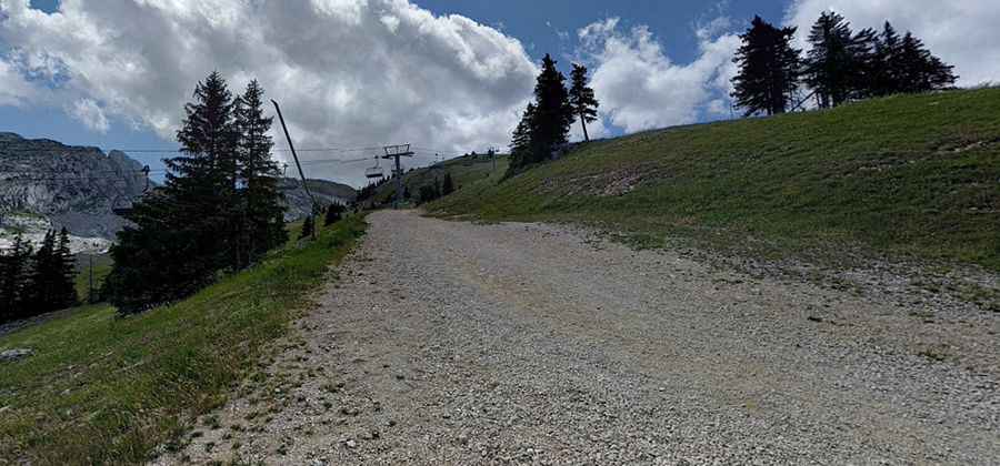
The road to the summit is totally unpaved. It’s a chairlift access trail. It comprises narrow parts and very steep sections. 4x4 vehicles only. It’s closed to private vehicles.
How long is the road to Lac de la Grande Moucherolle?
Starting from Clôt de la Balme, the road to the summit is 5.4km long. Over this distance, the elevation gain is 720m and the average gradient is 13.33%.
Is the road to Lac de la Grande Moucherolle open year-round?
Set high in the Vercors Natural Regional Park, this trail can be done only a very narrow time-frame in the summer (July-September).
Pic: Dorian H.