Bocca di Vizzavona: A Strategic Pass in the Heart of Corsica
Bocca di Vizzavona (also known as Col de Vizzavona) is a mountain pass at an elevation of 1,163m (3,815ft) above sea level, located on the island of Corsica, France. Coordinates: 42.1121, 9.1158. The pass serves as the primary transport link between Ajaccio and Bastia.
| Road facts: Bocca di Vizzavona | |
|---|---|
| Elevation | 1,163m (3,815ft) |
| Surface | Paved (Asphalt) |
| Max Gradient | 12% |
| Road Name | T20 (formerly N193) |
| Length | 20 km (12.4 miles) |
Where is Bocca di Vizzavona located?
The pass is situated south of Monte d'Oro, on the administrative boundary between the Haute-Corse and Corse-du-Sud departments. It lies within the Regional Natural Park of Corsica. The summit area features a large parking facility and serves as a major trailhead for the GR20 hiking route. It is located south of other iconic Corsican routes like the Scala di Santa Regina (Gorges de la Ruda).
Is the road to Bocca di Vizzavona paved?
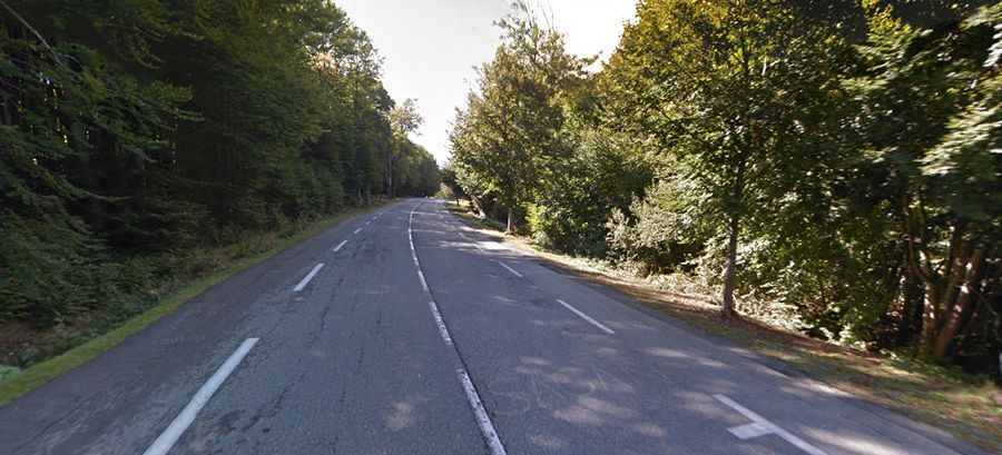
Yes. The route is part of the T20 (Territorial Road 20), a fully paved high-capacity mountain road. Recent engineering projects have widened and realigned several sections to accommodate heavy vehicle traffic. Despite these improvements, the road maintains a steep mountain character with numerous technical turns, especially on the descent towards Bocognano.
How long and steep is the road to Bocca di Vizzavona?
The pass is 20 km (12.4 miles) long, running north-south from Vivario to Bocognano. The maximum gradient reaches 12% in specific sections. Due to its technical profile, the pass featured in the 2013 Tour de France as a Category 2 climb. The climb from the south (Bocognano) is generally considered more demanding than the northern approach from Vivario.
Driving Conditions and Winter Access to Bocca di Vizzavona
As the primary artery across the island, the T20 is maintained year-round. However, Bocca di Vizzavona is frequently the first road in Corsica to be affected by heavy snowfall. Special equipment, such as winter tires or chains, is often mandatory between November and March. Drivers should also anticipate high volumes of truck traffic, as this is the main commercial route between the island's two largest cities.