How To Have The Ultimate Road Trip To Bocca à Canaghia
Bocca à Canaghia is a high mountain peak at an elevation of 1.848m (6,062ft) above sea level, located on the island of Corsica, in Franca. It’s one of the highest roads of Corsica.
Where is Bocca à Canaghia?
The peak is located in the Haute-Corse department, in the central part of the island, within the Regional Natural Park. Near the summit there are a couple of mountain refuges.
Is the road to Bocca à Canaghia unpaved?
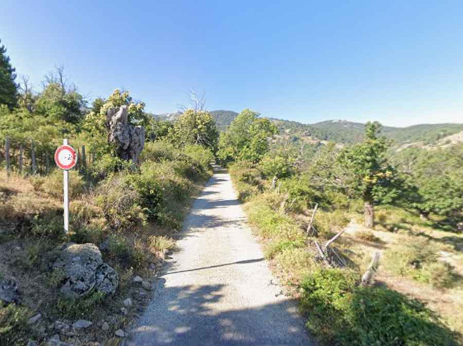
The road to the summit is mostly unpaved, except for a brief asphalt section near the start. The climb through the forest is narrow and tightly winding, packed with sharp hairpin turns, but the gradient remains manageable. A 4x4 vehicle with high-clearance is required to complete the drive.
Is the road to Bocca à Canaghia open to vehicles?
On paper, the entire route is completely illegal. At the bottom of the valley, right where the asphalt ends, a municipal sign strictly bans entry to all vehicles (Interdit à tous véhicules). However, this prohibition is universally ignored. There are no physical gates or barriers stopping you, and the track is open enough that hundreds of drivers—including tourists in standard cars—drive right past the sign every summer. The route features a dirt parking here at the mid-way point, but many drivers continue pushing further up the unpaved mountain track until they reach the stone structures of the Bergeries de Conia. If you choose to follow them, you must understand the risk: you are driving on a legally prohibited route. If you pop a tire on the sharp rocks, scratch the sides against the brush, or crack the oil pan on a deep rut, your rental insurance is void, and you will face a massive towing bill on a road you shouldn't have been on in the first place.
How long is the road to Bocca à Canaghia?
Starting from Casamaccioli, the road to the summit is 19.4 km long. Over this distance, the elevation gain is 1042 m and the average gradient is 5.37%.
How to get by car to Bocca a Croce and Col de la Rinella?
Along the way, the road climbs up to Bocca a Croce (a high mountain pass at an elevation of 1.603m-5,259ft above sea level) and Col de la Rinella (a high mountain pass at an elevation of 1.558m-5,111ft above sea level).