La Déa Fortress: Driving the 15km Military Track in the Alpes-Maritimes
At an elevation of 1,753m (5,751ft) above sea level, La Déa Fortress (locally known as Petit Ouvrage de la Baisse de la Déa) is a military fortification in the Alpes-Maritimes department of southeastern France. Built in 1934 as part of the Alpine extension of the Maginot Line, the fortress is located in a high-altitude strategic position near the Italian border.
| Road facts: La Déa Fortress | |
|---|---|
| Location | Alpes-Maritimes, France |
| Elevation | 1,753 m (5,751 ft) |
| Length | 15.2 km (9.4 miles) |
| Surface | Unpaved / Military Gravel |
| Hairpins | 18 |
How is the road to La Déa Fortress?
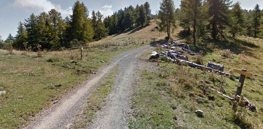
The ascent starts from the paved D2204 road, near the Col de Brouis. The track to the fortress is 15.2 km (9.4 miles) long and is entirely unpaved. This is a technical mountain road featuring 18 sharp hairpin turns. Originally built for military logistics, the surface consists of loose gravel and packed earth. The track is narrow, often reduced to a single lane with dangerous unprotected drops on the valley side. A high-clearance 4x4 vehicle is mandatory to navigate the ruts and the steep, uneven inclines typical of the Southern Alps.
Is the road to the fortress open in winter?
No. Due to its elevation and northern exposure, the road is seasonally impassable. Snow and ice block the track from late autumn until early spring, and because it is a secondary military access, it is not plowed. Even in the summer months, heavy rainfall can turn the dirt sections into slippery mud and cause minor rockslides. Before departing, check the local weather for the Sospel area, as the higher sections of the track are exposed to rapid atmospheric changes.
What are the main hazards on the La Déa track?
The primary hazards are extreme exposure and the deteriorating surface. The 18 hairpins are tight, requiring precision driving on a loose surface where traction can be inconsistent. There are no safety barriers, and the road is subject to erosion. Additionally, the area around the fortress still contains military ruins; drivers should stay on the established track to avoid hazards. At 1,753 meters, ensure your vehicle's braking system is in top condition for the long descent back to the D2204, using low gears to manage speed effectively.
Logistics and Preparation
This is a remote military route with no services, fuel, or water. Ensure your tank is full before leaving Sospel or the surrounding towns. Mobile signal is unreliable once you enter the deep valleys of the Alpes-Maritimes. It is essential to carry a full-size spare tire and basic recovery equipment, as the sharp rocks on the Maginot Line tracks are known for causing punctures. Always inform someone of your route, as this is a low-traffic road where help can be difficult to find.