Ouvrage Plan Caval
Ouvrage Plan Caval is a military fortress, part of the Maginot Line's Alpine extension, at an elevation of 1.912m (6,272ft) above the sea level, located in the Alpes-Maritimes department in the Provence-Alpes-Cote-d'Azur region in southeastern France.
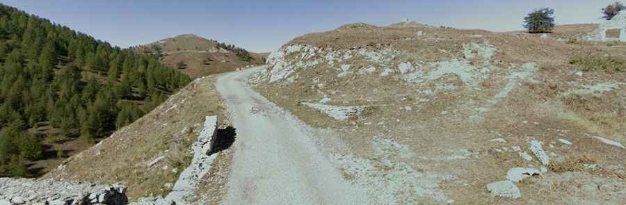
The road to the fortress is called D68. It’s a one-way loop asphalted road. Its highest elevation is 2.029m above the sea level. The road follows numerous remnants of France's military heritage. Avalanches, heavy snowfalls and landslides can occur anytime and can sometimes block some sections of the road.