How to drive the steep road to Fort superieur de Saint-Ours
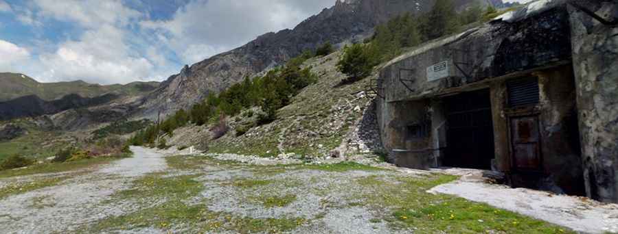
Fort superieur de Saint-Ours is a military fortress at an elevation of 1.874m (6,148ft) above sea level, located in the Alpes-de-Haute-Provence department in France.
Where is Fort superieur de Saint-Ours?
The fortress is located in the Provence-Alpes-Côte d'Azur region, in the southeastern part of the country, near the Italian border.
When was Fort superieur de Saint-Ours built?
Part of the Maginot Line's Alpine extension, the fort was dug into the rocks and built from reinforced concrete and steel. Its construction began in March 1931.
How long is the road to Fort superieur de Saint-Ours?
Starting from the paved D900 Road, the road to the summit is 4.3 km long. Over this distance, the elevation gain is 320m and the average gradient is 7.44%.
Is the road to Fort superieur de Saint-Ours paved?
The road comprises paved and unpaved parts. It’s asphalted from the start at D900 Road to Saint-Ours. Beyond the town, the road is gravel. It comprises narrow parts, very steep sections and 6 hairpin turns.
Pic: PaoloSupertramp Video