Driving the historic military road to Col Mercière in the Alps
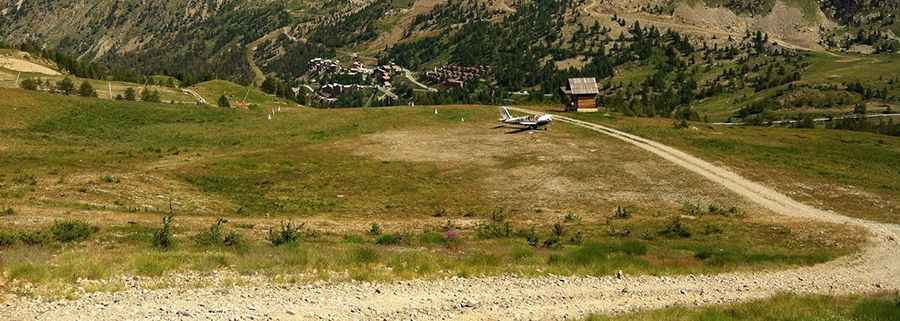
Col Mercière is a high mountain pass at an elevation of 2,346m (7,769ft) above sea level, located in the Alpes-Maritimes department of southeastern France. Tucked away in the heart of the Mercantour National Park, this pass is one of the most iconic high-altitude tracks overlooking the ski resort of Isola 2000.
The road to the summit is a relic of 20th-century military engineering. Originally built to support the Maginot Line fortifications along the Alpine border, the pass still features significant military constructions from World War II. The landscape is a brutal mix of grey limestone cliffs and high-altitude pastures where it is common to spot chamois or marmots. Unlike its neighbors, Col Mercière has a long history as a traditional passage point between the Tinée Valley and the Italian border, long before the modern ski station was ever conceived.
| Road facts: Col Mercière | |
|---|---|
| Location | Isola 2000, Mercantour (France) |
| Elevation | 2,346 m (7,769 ft) |
| Max Gradient | Approx. 25% |
| Surface | Rocky & Loose Gravel |
| Hazard Level | High (Exposed and Bumpy) |
What is the 4x4 track to Col Mercière like?
Reaching the summit of Col Mercière requires a low-range 4x4 vehicle. The trail starts from the upper part of the Isola 2000 resort and follows a winding, service-oriented track that is often used by the ski station. The surface is notoriously bumpy, rocky, and tippy, with several sections that will test the suspension of any vehicle. The ascent is steep, with ramps reaching gradients of 25%, and consists largely of loose shale. It is not a route for drivers scared of heights, as the road is narrow and features several exposed hairpins with no guardrails.
When can you drive to Col Mercière?
Due to its high Alpine location, the pass is buried under snow for most of the year. The road is usually impassable from October to June, and even in July, patches of snow can block the higher reaches. The best window for an expedition is late summer (August and September) when the track is dry. However, the Mercantour climate is notoriously fickle; high winds are a constant factor, and temperatures can plummet to freezing even in August. Always carry self-recovery gear and check with local authorities at Isola 2000 for the current status of the trail before heading up.
A gateway to the High Alps
While Col Mercière is a destination in its own right, it is often linked with the nearby Col de la Vallette (2,349m) and Col de la Roubine (2,304m). Together, these passes form a technical high-altitude circuit that offers some of the most spectacular 360-degree views in the Southern Alps. From the summit of Mercière, you can look down upon the Lacs de Terre Rouge and across towards the Italian peaks. The combination of historical military ruins and the raw beauty of the National Park makes this drive a legendary experience for off-road enthusiasts.
Pic: Francis JÖNSSON