A brutally steep (17.67%) service road to Cime des Orres in the Hautes-Alpes
Cime des Orres is a high mountain peak at an elevation of 2,655m (8,710ft) above sea level, located in the Hautes-Alpes department of France. It’s one of the highest roads in the country.
Where is Cime des Orres?
The peak, also known as Les Crêtes, is located in the Provence-Alpes-Côte d'Azur region, in the southeastern part of the country.
Is Cime des Orres worth it?
The views at the summit are stunning: on one side, a magnificent view of Grand Vallon, and on the other side, the Embrunaise Valley.
Is the road to Cime des Orres unpaved?
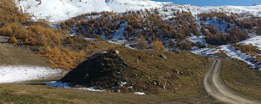
The road to the summit is totally unpaved. It’s a service road used to maintain the chairlift at the summit. 4x4 vehicles only due to its steepness, which exceeds 30% in some parts. It’s drivable only in summer and closed to private vehicles.
How long is the road to Cime des Orres?
Starting from Les Orres 1650 ski resort, the road to the summit is 5.8 km (3.6 miles) long. Over this distance, the elevation gain is 1,025 m and the average gradient is 17.67%.
Pic: Christian Nadal