Driving to Col de l'Aiguille: A brutal 18% 4x4 climb in the Tarentaise Valley
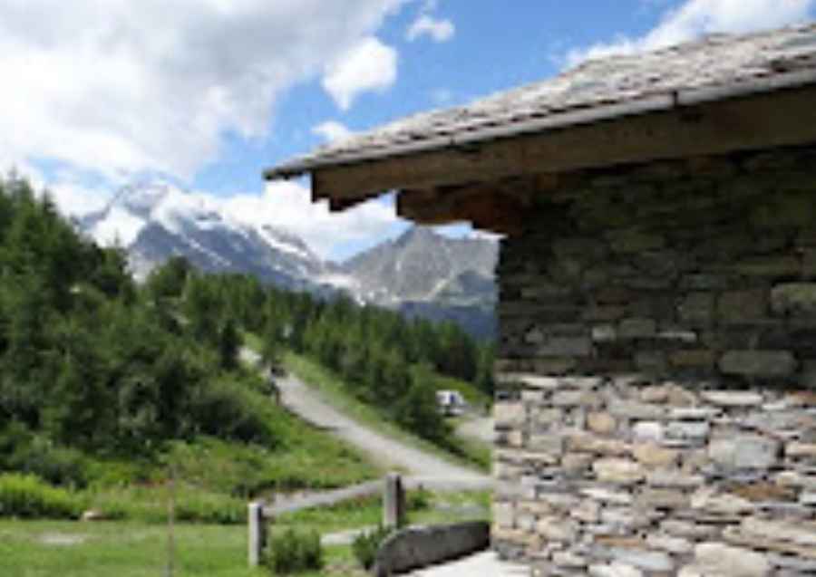
Located in the Savoie department of southeastern France, the track to Col de l'Aiguille is an extreme high-altitude challenge that pushes the boundaries of off-road driving. Reaching an elevation of 2,606m (8,549ft) above sea level in the heart of the Tarentaise Valley, this is a raw, unpaved service road used by the Station Sainte-Foy resort. It is a journey defined by pure verticality, where the combination of loose stones and a staggering incline creates a high-stakes environment for any vehicle.
| Road facts: Col de l'Aiguille | |
|---|---|
| Location | Savoie, France (Tarentaise Valley) |
| Elevation | 2,606 m (8,549 ft) |
| Length | 5.3 km (3.29 miles) |
| Elevation Gain | 965 m |
| Average Gradient | 18.20% |
How challenging is the 18% climb to Col de l'Aiguille?
The ascent to Col de l'Aiguille starts from Le Planay Dessous and covers 5.3 km of the most aggressive terrain in the Auvergne-Rhône-Alpes region. With a vertical gain of 965 meters, the average gradient is a devastating 18.20%. The road surface is entirely unpaved, consisting of shifting gravel and large, loose stones. In the upper sections, the track becomes even more rocky and steep, demanding a 4x4 vehicle with extreme torque and a low-range gearbox. Maintaining momentum here is a technical battle; if your wheels lose traction on the loose scree, the incline is so severe that restarting the climb is nearly impossible without sliding backward.
What are the hazards of the Sainte-Foy chairlift tracks?
As a chairlift access trail, the road to Col de l'Aiguille was never intended for public use. The window for driving this route is extremely narrow, often only accessible at the end of August when the last of the Alpine snow has melted. The primary hazard is the "tippy" nature of the track and the lack of any safety barriers. The high-altitude environment at 2,606 meters means the weather can flip in minutes, turning the dusty, rocky path into a slick, muddy trap. The vertical drops are unprotected, and the soft, eroding shoulders of the trail mean that any steering error on the narrowest ramps can lead to a terminal situation.
What is the best 4x4 strategy for the Tarentaise high-altitude roads?
Reaching the summit of Col de l'Aiguille requires a vehicle in peak mechanical condition. The sustained 18% gradient will put massive stress on your drivetrain and cooling system, and the thin air will reduce your engine's power output significantly. You must air down your tires to maximize the footprint on the jagged rocks. On the descent back to Le Planay Dessous, do not rely on your foot brakes; the punishing incline will boil your fluid and cause brake fade in a matter of minutes. Use heavy engine braking and keep the vehicle in its lowest gear. In this corner of the Savoie, the mountain always has the final word—respect the gradient and monitor your gauges constantly.
Pic: Google Vacation Rentals Partner