How to drive the unpaved road to Col de la Sagette?
Col de la Sagette is a high mountain pass at an elevation of 1.978m (6,489ft) above sea level, located in the Pyrénées-Atlantiques department in France.
Where is Col de la Sagette?
The pass is located in the Nouvelle-Aquitaine region, in the south-western part of the country, near the Spanish border. A gravel chairlift access trail located north-east the pass climbs up to 2.038m.
Is the road to Col de la Sagette unpaved?
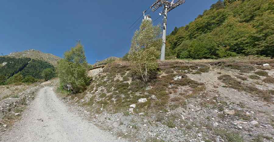
The road to the summit is totally unpaved. It’s a service road for the chairlifts. A 4x4 vehicle is required. It comprises loose rocks, extremely steep sections and 11 hairpin turns. It’s closed to private vehicles.
How long is the road to Col de la Sagette?
Starting from Fabrèges, the road to the summit is 4.7 km long. Over this distance, the elevation gain is 697 m and the average gradient is 14.82%.
Is the road to Col de la Sagette open year-round?
Set high in the Pyrénées mountain range, the road is totally impassable in winters due to heavy snowfalls.
How to drive to Col de l’Ours?
South of the pass, about 200m, the road climbs up to Col de l’Ours, a high mountain pass at an elevation of 1.936m (6,351ft) above sea level.