How to drive the steep road to Pointe de Pastourlet in the Hautes-Alpes
Pointe de Pastourlet is a high mountain peak at an elevation of 2.313m (7,588ft) above sea level, located in the Hautes-Alpes department in France.
Where is Pointe de Pastourlet?
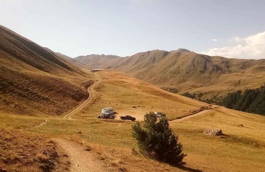
The peak is located in the Provence-Alpes-Côte d'Azur region, in the southeastern part of the country. At the summit there’s a big parking and a shelter known as Cabane des Couniets.
Is the road to Pointe de Pastourlet unpaved?
The road to the summit is totally unpaved and pretty curvy. It’s called Chemin des Couniets. It comprises narrow parts, very steep sections and 6 hairpin turns. It’s drivable by most passenger vehicles in dry weather.
How long is the road to Pointe de Pastourlet?
Starting from Sainte-Catherine, the road is 6.2km long.
Is the road to Pointe de Pastourlet open in winters?
Set high in the Queyras mountains, the road is open year-round, but short-time closures in winters are common.
Pic: Jose Luu