How to drive the unpaved road to Grande Motte?
Grande Motte is a high mountain peak at an elevation of 3.030m (9,940ft) above sea level, located in Savoie department of France. It’s one of the highest roads of Europe.
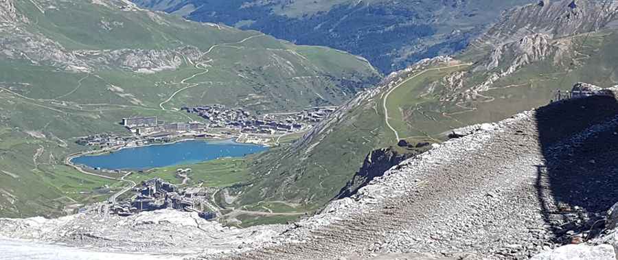
Where is Grande Motte?
The peak is located in the Auvergne-Rhône-Alpes region, in the southeastern part of the country. Near the summit there’s a restaurant with 360-degree views of a sea of peaks.
Is the road to Grande Motte unpaved?
The track to the summit is totally unpaved. It’s a chairlift access trail. It features narrow parts and many steep sections.
How long is the road to Grande Motte?
Starting from Val Claret, the road to the summit is 7.6 km long. Over this distance, the elevation gain is 905 and the average gradient is 11.90%.
Is the road to Grande Motte open year-round?
Set high in the Massif de la Vanoise range, in the Northern French Alps, the road is impassable from September to July (weather permitting). It’s one of the highest roads of the country.
Pic: Françoise Le Sonn